PawPath.
A geolocated companion for pet owners. When something goes wrong, PawPath surfaces the closest emergency vet and care options instantly — built on a PostGIS engine that genuinely understands distance and urgency.
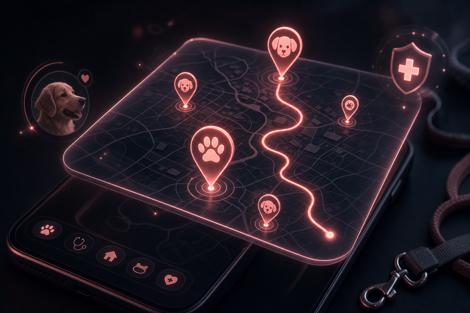
The nearest help, the moment it matters.
Emergency-vet first
The MVP is laser-focused on the worst moments — finding the nearest open emergency care, fast.
Real geospatial
A PostgreSQL + PostGIS backend that ranks by true proximity, not a flat list.
Built with care
Designed for stressed owners — clear, calm, and kind under pressure.
Places-aware
Google Places integration for accurate, up-to-date services nearby.
Fast under stress
A FastAPI backend tuned to answer the only question that matters: where do I go now?
Room to grow
Emergency care is the wedge — routine services, reminders, and records come next.
Part of the Astrolabe constellation.
One studio, a set of precise instruments. PawPath shares the same engineering DNA as everything else we build.
See the full constellation